Introduction
Surveying is a critical process that involves measuring and mapping land features to determine property boundaries, create maps, and gather data for construction projects.
To ensure accurate results, professionals rely on various tools specifically designed for surveying.
One of the most commonly used tools in surveying is the theodolite, a precision instrument used to measure angles and distances.
It is essential for establishing the horizontal and vertical positions of points on the land.
A total station is another important tool that combines the functionality of a theodolite with electronic distance measurement (EDM).
It allows surveyors to measure angles, distances, and elevations with high accuracy and efficiency.
To gather accurate positioning data, surveyors often use a Global Positioning System (GPS) receiver.
This tool uses signals from satellites to determine precise coordinates and is especially useful for large-scale surveys.
Other surveying tools include leveling instruments such as automatic levels and laser levels for measuring height differences, as well as measuring tapes for linear distance measurements.
Using the right tools in surveying is vital as it ensures accurate measurements, saves time, and improves overall efficiency in surveying projects.
By utilizing advanced tools, professionals can minimize errors, increase productivity, and provide reliable data to clients.
In this blog post, we aim to highlight the essential tools used by professionals in surveying and emphasize their importance in achieving precise and reliable results.
Whether you are a surveying professional or have an interest in the field, this post will give you valuable insights into the tools used by pros in the surveying industry in Australia.
Traditional Surveying Tools
In the world of surveying, professionals in Australia rely on a range of tools to accurately measure and map out land.
These tools, both traditional and modern, play a crucial role in gathering data and producing reliable results.
In this blog section, we will explore the traditional surveying tools that professionals in Australia use on a regular basis.
Theodolite
Definition and purpose
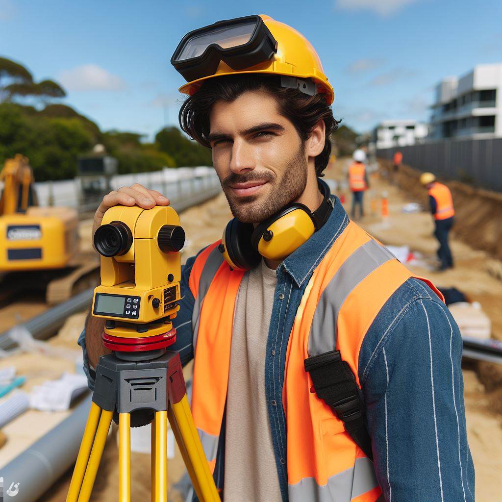
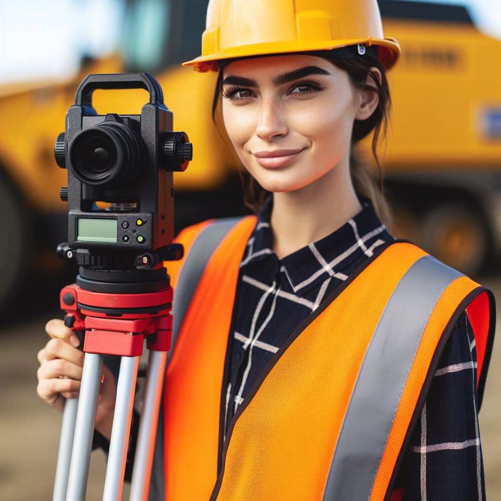
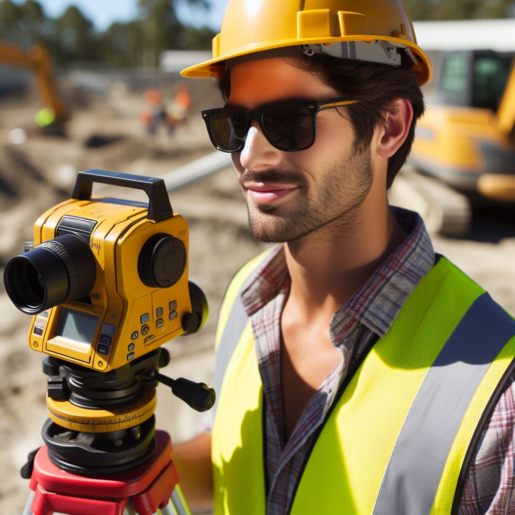
A theodolite is a precision instrument used for measuring angles in both horizontal and vertical planes.
It plays a vital role in determining the positions of points and distances between them.
How it is used in surveying
Theodolites are mounted on tripods and are used to measure horizontal and vertical angles with high accuracy.
Surveyors use them to establish control networks, determine azimuths, and create accurate maps and plans.
Tapes and Chains
Definition and purpose
Tapes and chains are measuring tools used by surveyors to determine distances between points.
They are essential for measuring linear features such as boundaries, roads, and rivers.
Different types of tapes and chains
Surveyors use various types of tapes and chains, including steel tapes, fiberglass tapes, and chains made of metal or synthetic materials. Each type has its own advantages and limitations.
Advantages and limitations of using tapes and chains
Advantages
- Tapes and chains are relatively inexpensive compared to modern electronic devices.
- They are easy to handle and transport, making them suitable for fieldwork.
- Tapes and chains can provide accurate distance measurements, especially over short distances.
Limitations
- They require manual measurement, which can lead to human errors.
- Tape and chain measurements are affected by factors such as temperature, tension, and sag.
- Using tapes or chains for long distances can be time-consuming and impractical.
Traditional surveying tools like theodolites, tapes, and chains have been used for decades by professionals in Australia.
While modern technology has introduced more advanced tools, these traditional instruments still have their place in the surveying industry.
Understanding the uses, advantages, and limitations of these tools is essential for surveyors to produce accurate and reliable results.
Read: Challenges Faced by Modern Architects
Modern Surveying Tools
Modern surveying tools have revolutionized the field, making measurements and data collection more accurate, efficient, and convenient.
In Australia, professionals rely on various advanced instruments to enable precise surveying processes.
Total Station
A total station stands as a prominent modern tool utilized extensively by surveyors.
This electronic device combines a theodolite, used to measure angles horizontally and vertically, with an electronic distance meter (EDM) for measuring distances precisely.
The total station provides accurate and efficient data collection, enhancing overall surveying effectiveness.
Compared to traditional tools, the benefits of using a total station are significant.
Firstly, it offers high accuracy, ensuring precise measurements crucial for construction and engineering projects.
Furthermore, total stations allow surveyors to quickly collect and store data electronically, simplifying analysis and reducing the chance of human errors during transcription.
Global Navigation Satellite System (GNSS)
Another noteworthy modern tool in surveying is the Global Navigation Satellite System, commonly known as GNSS.
GNSS utilizes a network of satellites to transmit signals to receivers on Earth, enabling precise positioning and timing information.
Surveyors rely on GNSS receivers to capture signals and calculate precise positions on the Earth’s surface.
This technology has revolutionized surveying by improving productivity and accuracy in various applications.
Despite its advantages, GNSS technology has limitations.
Signal blockages from buildings, trees, or dense urban areas can affect the accuracy of measurements.
Additionally, multipath errors can occur when satellite signals reflect off surfaces and interfere with the direct signal, leading to inaccuracies.
Surveyors must consider these limitations while utilizing GNSS technology in their projects.
In addition to the total station and GNSS, terrestrial laser scanners have gained popularity in modern surveying.
These devices utilize laser light to measure distances and create detailed 3D models of objects or environments.
By emitting laser pulses and capturing their reflections, laser scanners enable accurate spatial data collection for a range of applications.
Terrestrial Laser Scanner
Terrestrial laser scanners are particularly useful in topographic surveys, where they provide highly accurate elevation and terrain information.
They are also employed in building information modeling (BIM) to create precise digital representations of structures.
Furthermore, laser scanners find application in cultural heritage documentation, allowing for the capture and preservation of detailed information about historical sites or artifacts.
The benefits of using laser scanners in surveying are significant.
They enable faster and more efficient data collection, reducing the time required for traditional surveying methods.
Laser scanners also offer increased accuracy, capturing intricate details of complex geometries that may be challenging to measure with traditional tools.
These advantages make laser scanners invaluable in various surveying projects.
In summary, modern surveying tools have significantly improved the accuracy, efficiency, and convenience of surveying processes.
The total station, GNSS, and terrestrial laser scanners are among the essential tools used by professionals in Australia.
These advanced instruments enable precise measurements, data collection, and the creation of detailed 3D models.
With these tools at their disposal, surveyors can confidently tackle complex projects and provide accurate data and analysis.
Read: Historic Preservation in Australian Architecture

Uncover the Details: Drafting Software Essentials for Australian Pros
Your Personalized Career Strategy
Unlock your potential with tailored career consulting. Get clear, actionable steps designed for your success. Start now!
Get StartedSpecialized Surveying Tools
Photogrammetry
Definition and purpose
Photogrammetry is a specialized surveying tool that utilizes photographs to obtain accurate measurements and data.
It involves the process of capturing and analyzing photographs that provide valuable information for surveying purposes.
This technique is commonly used in various industries, including land surveying, cartography, and construction.
How photogrammetry is used in surveying
The primary purpose of photogrammetry in surveying is to create accurate 3D models and maps.
By analyzing overlapping photographs taken from different angles, surveyors can extract precise measurements and create detailed representations of terrain, buildings, and other objects.
Photogrammetry allows for the creation of accurate topographic maps, volumetric measurements, and detailed elevation models.
Advantages and limitations of photogrammetry
The use of photogrammetry in surveying offers several advantages.
Firstly, it allows surveyors to capture large areas quickly and efficiently.
Instead of conducting traditional field surveys, photogrammetry enables the collection of a vast amount of data in a relatively short period.
Additionally, it eliminates the need for extensive manual measurements, reducing human error and improving overall accuracy.
However, photogrammetry also has some limitations.
One of the main challenges is the need for specialized equipment and software.
High-resolution cameras and advanced processing tools are necessary to obtain precise measurements.
Furthermore, external factors such as weather conditions and the presence of obstructions can affect the quality and accuracy of the captured photographs.
Drones
Moving on to drones, they have revolutionized the field of surveying in recent years.
Drones, or unmanned aerial vehicles (UAVs), are small aircraft that can be remotely controlled or can fly autonomously.
They are equipped with cameras and various sensors that collect data from the air.
Definition and purpose
Drones have become increasingly popular in surveying due to their versatility and cost-effectiveness.
They can capture aerial photographs and videos, allowing for the creation of detailed maps and models.
Drones are particularly useful in surveying large and inaccessible areas, such as remote terrains, construction sites, or disaster-stricken areas.
Use of drones in surveying
The use of drones in surveying offers several benefits. Firstly, they provide a safe and efficient alternative to traditional surveying methods.
Surveyors can collect data without physically accessing hazardous or hard-to-reach locations.
Additionally, drones can cover large areas in a shorter time compared to manual surveys, increasing productivity and reducing costs.
Benefits and challenges of drone-based surveying
Despite the advantages, drone-based surveying also presents challenges.
One of the primary concerns is the need for skilled operators who can efficiently control the drone’s flight and collect accurate data.
Moreover, legal and regulatory restrictions regarding drone usage can vary between regions, requiring surveyors to adhere to specific guidelines and obtain necessary permissions.
In fact, specialized surveying tools like photogrammetry and drones have significantly enhanced the efficiency and accuracy of surveying processes.
Photogrammetry allows for the analysis of photographs to extract precise measurements, while drones offer aerial data collection capabilities.
Both tools have their advantages and limitations, but their integration into surveying practices has undoubtedly transformed the industry.
Read: Surveying 101: An Aussie’s Intro to the Field
Emerging Technologies in Surveying
Mobile Lidar Scanners
Definition and Purpose
Mobile lidar scanners are devices used to collect precise 3D measurements of objects and environments.
Advantages and Applications of Mobile Lidar Scanners
Mobile lidar scanners offer advantages such as rapid data collection, high accuracy, and increased safety for surveyors.
Applications include topographic mapping, road surveys, urban planning, and infrastructure monitoring.
Virtual Reality and Augmented Reality
Definition and Purpose in Surveying
Virtual reality (VR) and augmented reality (AR) refer to technologies that create immersive and interactive virtual environments.
In surveying, these technologies are used to visualize and analyze geospatial data in a more intuitive and realistic manner.
How Virtual Reality and Augmented Reality are Transforming Surveying Practices
VR and AR enable surveyors to simulate the physical environment, making it easier to identify potential challenges and plan accordingly.
They also allow stakeholders to experience and provide feedback on proposed projects before construction begins.
These technologies enhance collaboration among professionals and improve communication with clients.
Read: Project Management Tips for Architects
Delve into the Subject: EE Continuing Education in Australia
Stand Out with a Resume That Gets Results
Your career is worth more than a generic template. Let us craft a resume and cover letter that showcase your unique strengths and help you secure that dream job.
Get HiredConclusion
Recap of the importance of using the right surveying tools
Using the right surveying tools is crucial for accurate and efficient surveying in Australia.
These tools allow professionals to measure and map various terrains, ensuring the success of construction, land development, and infrastructure projects.
Summary of the various tools used in surveying in Australia
In Australia, surveyors rely on a range of tools, both traditional and modern, to carry out their work.
These tools include total stations, GPS systems, drones, laser scanners, and advanced software for data processing and analysis.
Each tool serves a specific purpose and contributes to the overall accuracy and efficiency of the surveying process.
Final thoughts on the future of surveying tools and technologies in the country
The field of surveying is continuously evolving, and so are the tools and technologies used in the industry.
Empower individuals in surveying education, providing knowledge for successful careers, guiding informed decisions for fulfillment.
With the increasing demand for infrastructure development and urban planning in Australia, the importance of using advanced surveying tools cannot be overstated.
The integration of geospatial technologies, artificial intelligence, and automation is set to revolutionize surveying practices and enable surveyors to tackle complex projects with greater efficiency and precision.
As the country’s surveying industry continues to evolve, professionals must stay updated with the latest tools and technologies.
Embracing innovation and utilizing the right surveying tools will be vital for the growth and success of surveying in Australia in the years to come.


