Introduction
Environmental science technology in Australia
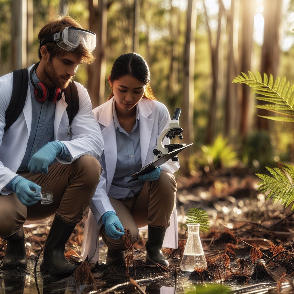
Environmental science technology plays a vital role in addressing environmental issues in Australia. It is crucial for understanding and protecting the natural world. This blog post will delve into some of the important tools used in environmental science and their significance in Australia.
Importance of environmental science in addressing environmental issues
In today’s world, environmental issues have become a pressing concern, and environmental science plays a pivotal role in tackling them. By studying the environment and its processes, scientists can gain valuable insights into the impacts of human activities.
In Australia, a vast and diverse country known for its unique ecosystems, environmental science technology is particularly important.
It helps researchers and policymakers comprehend the complex environmental challenges faced by the country, such as climate change, biodiversity loss, and pollution.
Tools that will be discussed in the blog post
This blog post will highlight some of the tools that environmental scientists in Australia use to study and address these issues.
From remote sensing and geographic information systems (GIS) to air quality monitoring devices and water quality testing equipment, each tool aids in collecting data and understanding the environment.
By utilizing advanced technologies and tools, environmental scientists can analyze large datasets and make informed decisions to mitigate environmental damage.
Furthermore, these tools assist in identifying patterns and trends, which enable effective conservation and management strategies.
In the following sections, we will explore these tools in detail, discussing their working principles, applications, and contributions to environmental science in Australia.
So, let’s dive into the world of environmental science technology and uncover the tools that shape our understanding of the environment.
Remote Sensing
Remote sensing plays a crucial role in environmental science, allowing us to gather valuable information about the Earth’s surface without direct physical contact.
It involves the use of various technologies to capture data from a distance, providing insights into our environment on a large scale.
Definition and explanation of remote sensing in environmental science
Remote sensing refers to the collection of data about an object or area from a distance. It utilizes sensors, such as cameras and satellites, to capture electromagnetic radiation reflected or emitted by the object or area of interest. This data is then analyzed to gain valuable insights about the environment.
Discussing different remote sensing technologies used in Australia
Australia utilizes a range of remote sensing technologies to monitor and manage its diverse environment. These technologies include:
- Satellite-based remote sensing: Satellites equipped with various sensors capture images and data from space. This technology provides a wide coverage area and is essential in monitoring large-scale environmental changes such as deforestation and climate patterns.
- LiDAR: Light Detection and Ranging (LiDAR) systems use laser beams to measure distances and create precise 3D models of the Earth’s surface. LiDAR is highly effective in mapping landforms, vegetation, and coastal areas, providing detailed information for environmental planning and management.
- Hyperspectral imaging: Hyperspectral sensors capture data across a wide range of electromagnetic wavelengths, enabling the identification of specific materials or substances. This technology is valuable in identifying vegetation types, monitoring water quality, and detecting pollutants and invasive species.
- Radar imaging: Radar systems utilize radio waves to measure distances and create images. In Australia, radar sensors mounted on aircraft are widely used to monitor coastal erosion, track vegetation growth, and assess soil moisture levels.
Highlighting the applications of remote sensing in monitoring and managing the environment
Remote sensing has numerous applications in monitoring and managing the environment in Australia:
- Land cover and land use mapping: Remote sensing helps in assessing changes in land cover and land use, including deforestation, urbanization, and agricultural practices. This information aids in land management and conservation efforts.
- Disaster management: Remote sensing plays a vital role in detecting and assessing natural disasters such as wildfires, floods, and cyclones. It enables timely response and helps in planning relief efforts.
- Climate change monitoring: Remote sensing provides valuable data for monitoring climate change indicators such as sea level rise, temperature changes, and melting glaciers. This information assists in understanding and mitigating the impacts of climate change.
- Biodiversity conservation: Remote sensing aids in mapping habitats, identifying biodiversity hotspots, and monitoring changes in ecosystems. It helps in prioritizing conservation efforts and protecting endangered species.
- Water resource management: Remote sensing allows monitoring of water bodies, assessing water quality, and mapping changes in water availability. This information is crucial for sustainable water resource management, especially in arid regions.
Basically, remote sensing is a powerful tool in environmental science, providing valuable information on a large scale. Australia employs remote sensing technologies to actively monitor and manage the environment, facilitating effective conservation and sustainable development decisions.
Geographic Information Systems (GIS)
Geographic Information Systems (GIS) play a vital role in environmental science by providing a framework for analyzing spatial data.
GIS is a computer-based system that allows for the collection, storage, analysis, and display of geographic information. Its significance in environmental science is undeniable.
GIS tools are essential in the field of environmental science to efficiently manage and analyze spatial data. These tools include:
- GPS (Global Positioning System): GPS receivers accurately determine the position of a specific location on Earth’s surface using satellite signals. This data is crucial for mapping and spatial analysis.
- Remote Sensing: Remote sensing platforms, such as satellites and aircraft, collect data about Earth’s surface from a distance. This data is used in GIS to create various maps and models.
- Digital Elevation Models (DEM): DEMs are used to represent the topographic features of the Earth’s surface. They provide detailed information about terrain, elevation, slope, and aspect, which is valuable for environmental analysis.
- Aerial Photography: Aerial photographs, captured from airplanes or drones, are used to digitize and analyze features on the Earth’s surface. They provide high-resolution imagery for mapping purposes.
- Land Cover Classification: GIS tools are utilized to classify and analyze land cover types, such as vegetation, water bodies, urban areas, and agricultural land. This information aids in assessing environmental conditions and changes over time.
How GIS is used for spatial analysis and decision making in environmental management
GIS is widely used for spatial analysis and decision-making in environmental management. It allows scientists and policymakers to understand complex relationships between various environmental factors. Here’s how GIS is used for spatial analysis:
- Spatial Modeling: GIS tools enable the creation of predictive models to assess potential environmental impacts. These models can simulate scenarios and evaluate the consequences of different actions or policies.
- Hotspot Analysis: GIS helps identify areas with a high concentration of environmental issues, such as pollution sources or vulnerable ecosystems. This analysis assists in prioritizing conservation efforts and resource allocation.
- Habitat Mapping: GIS allows for the delineation and mapping of critical habitats for endangered species. This information helps in designing effective conservation strategies and protected areas.
- Environmental Impact Assessment (EIA): GIS supports the assessment of environmental impacts by integrating various data sources. It aids in evaluating the potential consequences of proposed developments on the environment.
- Land Use Planning: GIS tools facilitate the analysis of land use patterns and trends, enabling smarter urban planning and sustainable development. It helps in optimizing land utilization and minimizing environmental impacts.
In summary, GIS is an invaluable tool in environmental science. It enables the collection, analysis, and visualization of spatial data, enhancing decision-making processes and improving environmental management.
Through the use of various GIS tools, scientists and policymakers can effectively analyze and address complex environmental challenges, leading to more informed decisions and sustainable outcomes.
Your Personalized Career Strategy
Unlock your potential with tailored career consulting. Get clear, actionable steps designed for your success. Start now!
Get StartedRead: Australian Women in Chemistry: Trailblazers
Drone Technology
Drone technology and its relevance to environmental science
Drones have revolutionized the field of environmental science, providing researchers with new tools and capabilities.
Small aircraft, often called drones, are remotely controlled or fly autonomously, equipped with sensors and cameras. They monitor environments and collect data effectively.
Drones enable scientists to access areas that are difficult to reach, such as remote forests, rugged terrains, or inaccessible coastlines. By flying over these areas, researchers can gather data on vegetation, wildlife, water quality, and land use, among other environmental variables.
This information is vital for understanding ecosystems, identifying environmental threats, and devising appropriate conservation strategies.
Use of drones in environmental monitoring and data collection
One of the major advantages of using drones in environmental monitoring is their ability to cover large areas quickly and efficiently. Traditional methods, such as ground surveys or satellite imaging, often take longer and are costlier.
Drones, on the other hand, can capture high-resolution images, generate maps, and collect precise data in a fraction of the time. This efficiency allows scientists to monitor changes and trends in the environment more effectively.
Drones have also proved to be instrumental in disaster response and monitoring. In the aftermath of natural disasters like hurricanes, floods, or wildfires, drones can assess the extent of damage, identify potential hazards, and aid in rescue operations.
They provide real-time video footage and imagery, assisting emergency responders in making informed decisions.
Highlight the benefits and limitations of using drones in the field
Furthermore, drones are significantly reducing the risk to scientists’ safety in hazardous environments. Instead of sending researchers into dangerous areas, drones can be deployed to collect data without endangering human lives.
This includes monitoring volcanoes, studying wildlife in remote regions, or evaluating pollution in industrial sites.
Despite their numerous benefits, drones also come with some limitations. Weather conditions can affect their flight, and strong winds or precipitation can hinder data collection.
The short battery life of drones limits their flight time, requiring researchers to carefully plan missions and optimize time in the field. Additionally, drones can be expensive to acquire and maintain, as well as requiring trained operators with knowledge of aviation and regulations.
Drones raise privacy concerns when capturing images in residential areas. Establish ethical guidelines and legal frameworks for responsible drone use.
Therefore, drones have become invaluable tools in the field of environmental science, providing researchers with a new approach to data collection and monitoring.
Their ability to access difficult areas, efficiency in large-scale surveys, and enhancement of safety make them crucial for understanding the environment and managing resources effectively.
Continued advancements in drone technology and regulations will expand their role in environmental science. Scientists can make informed decisions, contributing to planet conservation.
Read: Must-Attend Chemistry Conferences in Aus

See Related Content: Balancing PhD and Life in Australia
Environmental Modelling
Environmental modelling plays a crucial role in understanding and managing our natural surroundings. It involves creating mathematical and computer-based models to simulate and predict the behavior of environmental processes and systems.
There are several types of environmental models employed in Australia for various purposes. These models serve as invaluable tools in assessing the impacts of human activities on the environment and assisting in decision-making processes.
Types of Environmental Models Used in Australia
- Climate Models: Climate models are used to analyze and predict weather patterns, climate changes, and their effects on the environment.
- Land Use Models: These models help in understanding how land is being used and how changes in land use can impact ecosystems and natural resources.
- Hydrological Models: Hydrological models simulate the movement and distribution of water resources, including rivers, lakes, and groundwater, to analyze water availability and quality.
- Air Quality Models: These models estimate air pollution levels, pollutant dispersion, and the effects of pollutants on human health and ecosystems.
- Ecological Models: Ecological models study the interactions between organisms and their environment, assisting in biodiversity conservation and habitat management.
- Environmental Impact Assessment (EIA) Models: EIA models evaluate the potential environmental consequences of proposed development projects, aiding in decision-making and mitigation planning.
- Coastal and Ocean Models: These models simulate ocean currents, sediment transport, and coastal erosion to support coastal zone management and marine conservation.
- Pollution Source Models: Pollution source models predict the spread and impact of pollutant emissions from industrial or transportation activities, guiding pollution control strategies.
What environmental modeling is and its importance
The use of environmental models has proven invaluable in predicting and evaluating environmental impacts. These models provide a scientific basis for decision-making, enabling policymakers and stakeholders to make informed choices.
Stand Out with a Resume That Gets Results
Your career is worth more than a generic template. Let us craft a resume and cover letter that showcase your unique strengths and help you secure that dream job.
Get HiredDifferent types of environmental models used in Australia
By simulating how different environmental factors interact and evolve, models help identify potential risks and assess alternative scenarios.
They assist in determining the most effective strategies for minimizing negative environmental consequences and promoting sustainable development.
Moreover, environmental models enable scientists and researchers to study the long-term effects of human activities and climate change on ecosystems.
They facilitate the understanding of complex environmental processes, providing insights into how ecosystems are likely to respond to future changes.
Through the use of models, scientists can conduct virtual experiments and develop innovative solutions to environmental challenges. This allows for cost-effective testing of different approaches before implementing them in the real world.
How these models aid in predicting and evaluating environmental impacts
However, it is important to acknowledge the uncertainties associated with environmental modelling. Models rely on accurate data inputs and assumptions, and uncertainties can arise due to limitations in data availability and inaccuracies in model representation.
Adequate validation and calibration are necessary for reliable model outputs and informed decision-making.
Generally, environmental modelling is a critical tool for understanding, predicting, and evaluating environmental impacts. Different types of models in Australia assist in analyzing climate patterns, land use changes, water resources, air quality, ecosystems, and pollution sources.
Through these models, policymakers and researchers can make informed decisions to safeguard our environment for future generations.
Read: Innovative Chemistry Startups in Australia
Learn More: Chemistry Education Trends in Australia
Water Quality Monitoring Tools
Water quality monitoring plays a crucial role in environmental science, as it helps assess and manage water resources effectively. In Australia, numerous tools are utilized for this purpose, each serving a specific function.
Turbidity Meters
Turbidity meters measure the clarity of water by assessing the presence of suspended particles. They use a light source and a detector to determine the level of light penetration, indicating water quality.
PH Meters
pH meters determine the acidity or alkalinity of water. They provide valuable insights into the potential impact of water on ecosystems, as certain species require specific pH levels to survive.
Dissolved Oxygen Meters
These meters measure the amount of oxygen dissolved in water. Aquatic organisms rely on dissolved oxygen for their survival, making it an important parameter for assessing water quality.
Conductivity Meters
Conductivity meters quantify the ability of water to conduct an electric current, which is directly related to the concentration of dissolved solids or ions present. They help identify sources of pollution and salinity levels.
Temperature Probes
Temperature probes, as the name suggests, measure the temperature of water. Affects various biological, physical, and chemical processes in water bodies, making it an essential parameter for water quality assessment.
Spectrophotometers
Spectrophotometers are used to measure the intensity of light transmitted through water at specific wavelengths. This data helps identify the presence and concentration of various pollutants in water resources.
Transform Your LinkedIn for Maximum Impact
Elevate your professional brand with a LinkedIn profile that attracts recruiters, showcases your expertise, and maximizes opportunities. Stand out in your industry with a profile built for success.
Boost ProfileSample Collection Equipment
To assess water quality accurately, various sample collection equipment such as grab samplers, automated samplers, and water bottles are used. These tools ensure representative samples for laboratory analysis.
Bacterial Testing Kits
These kits provide a rapid and simple method to assess bacterial contamination in water. They help in monitoring the presence of harmful pathogens that can lead to waterborne diseases.
Nutrient Testing Kits
Nutrient testing kits analyze the levels of nutrients present in water, such as nitrogen and phosphorus. Excessive nutrient concentrations can cause eutrophication, leading to ecological imbalances in aquatic environments.
Flow Meters
Flow meters measure the rate at which water flows in rivers, streams, or channels. This data assists in quantifying water availability, managing water allocations, and understanding the ecological effects of altered flows.
The utilization of these tools and equipment is vital in addressing water quality concerns, managing water resources sustainably, and safeguarding ecosystems. Water quality monitoring in Australia relies on these tools to ensure the health and viability of aquatic environments.
Read: Navigating Chem Grad Studies in Australia
Discover More: Marine Biology Tech and Innovations
Learn More: Physics PhD in Australia: A Complete Guide
Conclusion
Importance of environmental science technology
In closing, environmental science technology plays a vital role in addressing environmental challenges in Australia. These tools are essential for monitoring, analyzing, and mitigating environmental issues.
They provide valuable data and insights that help decision-makers develop effective strategies and policies. The importance of these tools cannot be overstated as they enable us to understand the impact of human activities on the environment and find sustainable solutions.
Role of these tools in addressing environmental challenges in Australia
Furthermore, the role of environmental science technology goes beyond addressing current challenges. It also provides a framework for future exploration and research.
By encouraging further investigation in this field, we can develop innovative tools and techniques to tackle emerging environmental issues. This will ensure the sustainability of our natural resources and protect the well-being of future generations.
Encourage further exploration and research in the field
Ultimately, it is crucial for individuals, organizations, and governments to recognize the significance of environmental science technology.
By investing in these tools and supporting research efforts, we can create a greener and more sustainable future for Australia. Together, we can make a positive impact on our environment and work towards a harmonious coexistence with nature.